This site uses cookies for...
...authentication, but
only if
you login/register.
...counting pageviews
...displaying ads
We aren't sharing cookies with any other third party service
I'm fine with it
Nope :(
Trackprofiler
Latest
Search
Login/Register
Units
metric
imperial
nautical
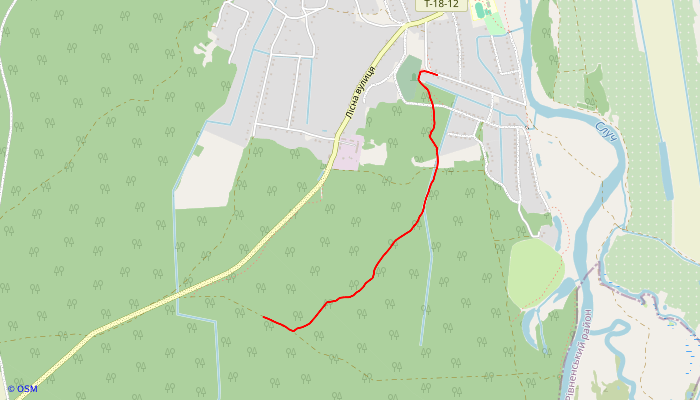
Track
Download
rrr
Uploaded:
1year 8months
ago,
recorded
n/a
by
kotokg
Download track
Track info
2d length:
1.28NM
3d length:
1.28NM
Total speed:
6kn
Moving speed:
6kn
Total time:
00:12:44
Max speed:
5.56kn
Time stopped:
n/a
Time moving:
00:12:44
Start time:
2024-04-01 16:27:57
End time:
2024-04-01 16:40:41
Points no:
428
Avg density (km):
180
Uphill:
48ft
Downhill:
46ft
Max elevation:
529ft
Min elevation:
513ft
 Latest
 Search
 Login/Register
 nautical
 Download