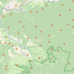
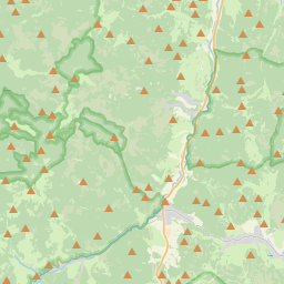
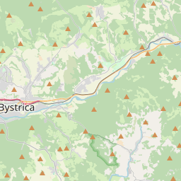
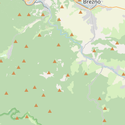
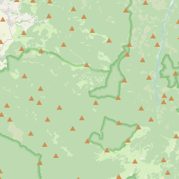
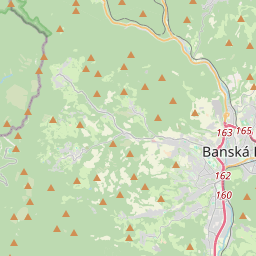
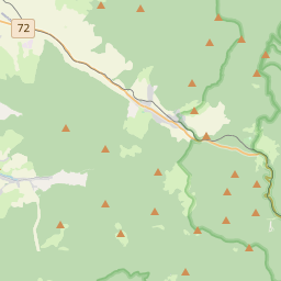
The race which takes place in the nice landscape of Slovakian Low Tatras. It is on the list of UMTB.
More info here:
http://www.nonstopbehnt.sk/
Track info
2d length: 45.83km
3d length: 46.05km
Total speed: n/a
Moving speed: n/a
Total time: n/a
Max speed: n/a
Time stopped: n/a
Time moving: n/a
Start time: n/a
End time: n/a
Uphill: 1322m
Downhill: 1494m
Max elevation: 1966m
Min elevation: 990m